
| North Richmond | Windsor | |
|---|---|---|
| Mar 2012 | 7.5 | 6.5 |
| Mar 2013 | 6.0 | 5.6 |
| Jun 2013 | 7.4 | 6.5 |
| Apr 2015 | 5.2 | 5.2 |
| Jun 2016 | 6.4 | 5.9 |
| Feb 2020 | 11.5 | 9.4 |
| Mar 2021 | 14.4 | 12.9 |
| Mar 2022 | 14.1 | 13.7 |
| Apr 2022 | 10.2 | 9.0 |
| Jul 2022 | 14.2 | 13.9 |
| Oct 2022 | 8.1 | 7.4 |
| Apr 2024 | 10.4 | 9.4 |
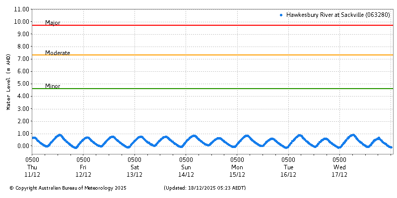
Historical river level data is sourced from the Bureau of Meteorology’s Water Data service.


This page displays graphs from the Bureau of Meterology, whose website still does not support secure transport (HTTPS/encryption). Some browsers (looking at you, Chrome) prevent, by default, a secure page such as this one from fetching third-party content insecurely. If you don’t see any graphs displayed, change your site settings. Click the settings button to the left of the web address, and choose Site settings from the drop-down menu.
Then, change the Insecure content option to Allow. The change will affect this website only.
